
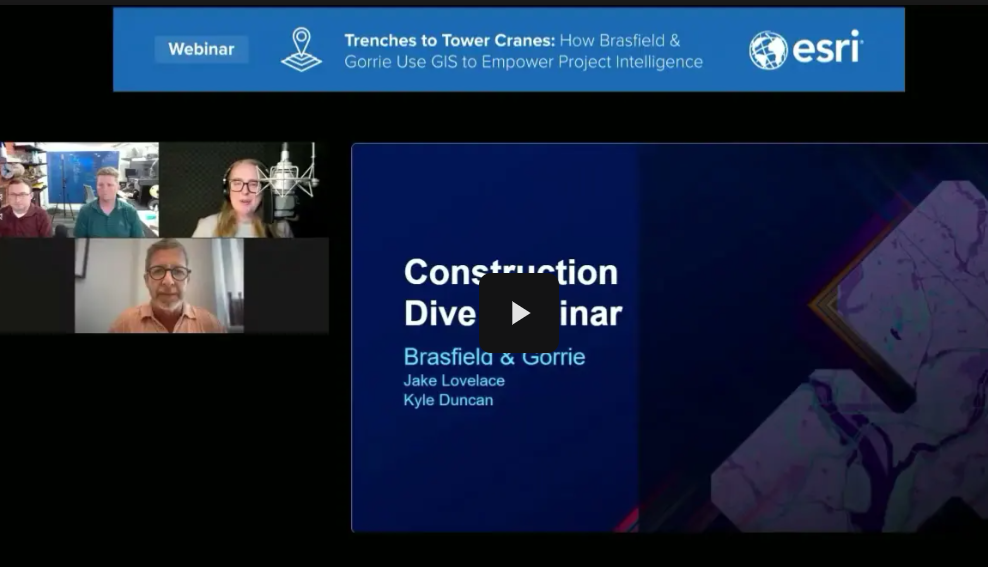
Join Brasfield & Gorrie’s innovation team for an inside look at how they’re transforming construction workflows through GIS-powered tools like Dig Boards and Project Atlas. Starting literally in the trenches with GNSS-enabled field data and Esri’s ArcGIS Field Maps and zooming out to an enterprise-level project intelligence platform, this session will walk you through real-world examples. See how accurate location data, digital maps, and integrated systems reduce utility strikes, improve safety, and enable smarter decision-making. Learn how they built these tools using Esri’s ArcGIS technology and discover the results they’re seeing across over 100 active projects.
Explore how to build GIS tools using ArcGIS Online and ArcGIS Field Maps
Understand the value of field-to-office data collection using GNSS and GIS
Discover how integrated systems enhance decision-making at every level
Gain insight into scalable GIS strategies for construction organizations